
Services
Our Services
Comprehensive Reality Capture & Digital Twin Solutions
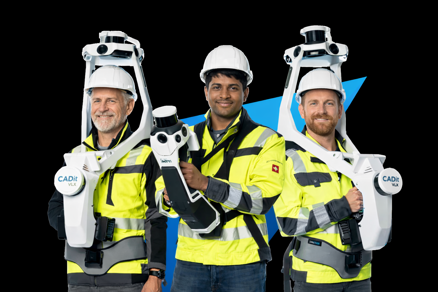
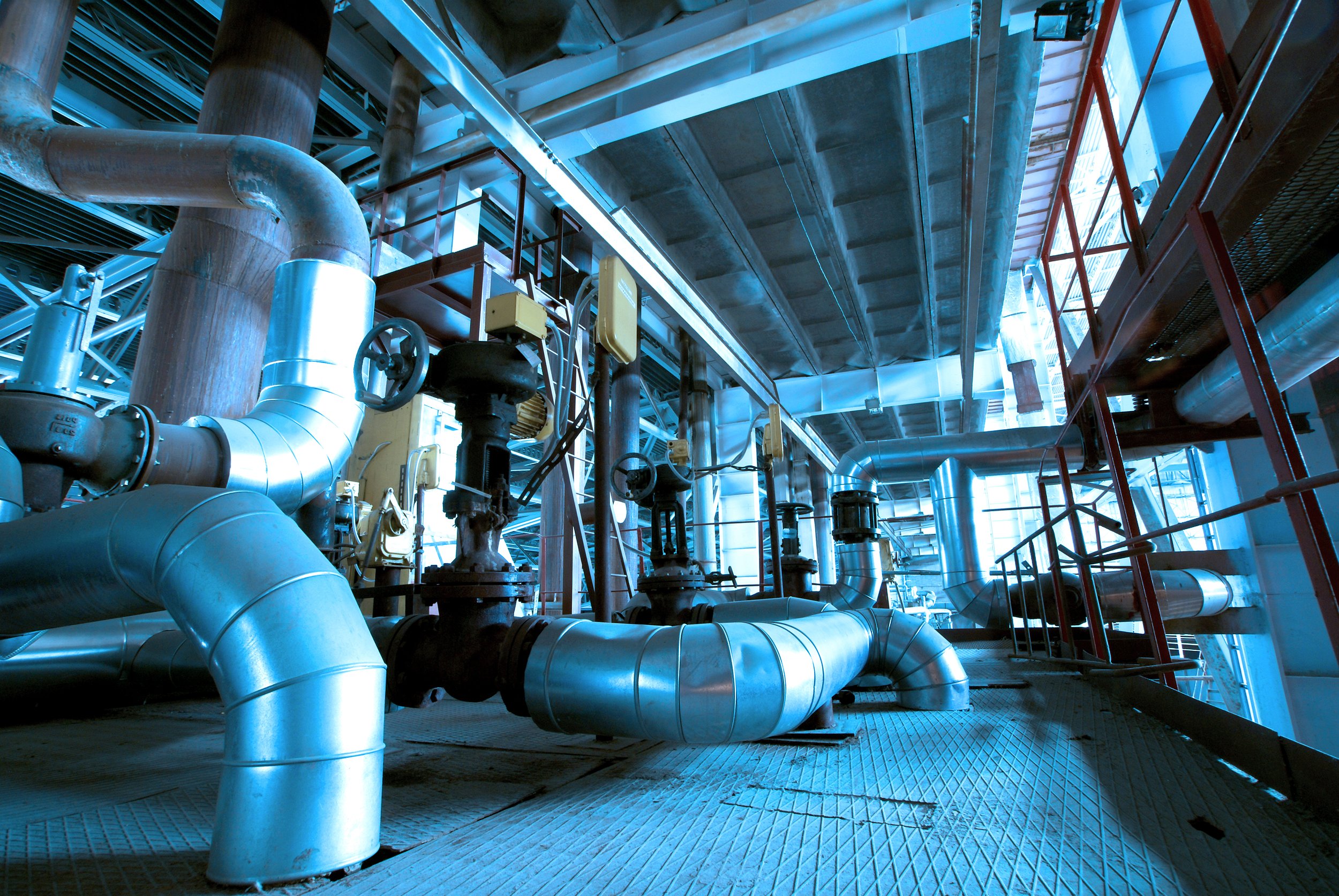
3D Reality Capture
Capture your facility quickly and safely with the NavVis VLX mobile laser scanner — providing high-resolution point clouds, immersive 360° panoramic imagery, and survey-grade spatial accuracy.
High-resolution point clouds
Immersive 360° panoramic imagery
Survey-grade spatial accuracy
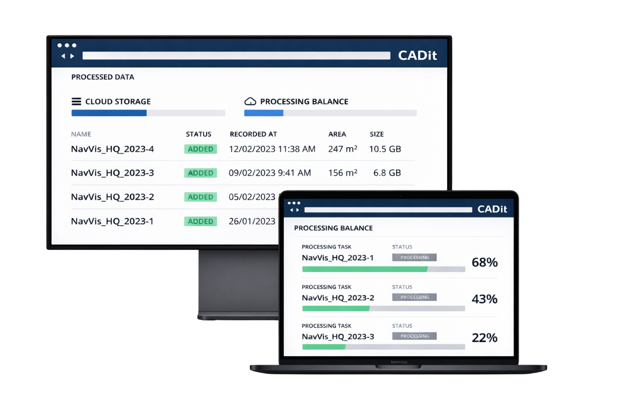
Data Processing & Management
We refine and optimize your scan data into usable formats so you can access clean, registered point clouds and leverage synchronized panoramic imagery.
Access clean, registered point clouds
Leverage synchronized panoramic imagery
Prepare datasets for contextual use across teams
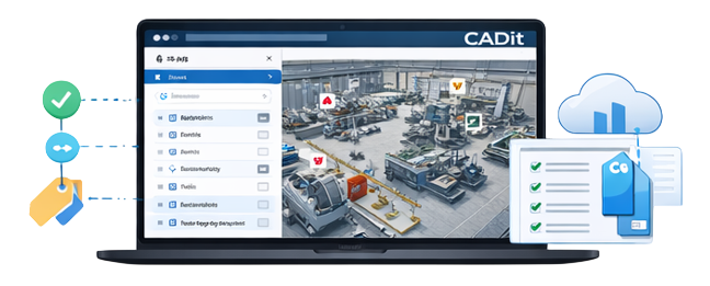
Asset Tagging & Visualization
Transform your facility model into an actionable asset repository. Add tags, notes, and metadata, and connect assets to documentation and maintenance records.
Add tags, notes, and metadata
Connect assets to documentation
Visualize equipment locations clearly in 3D
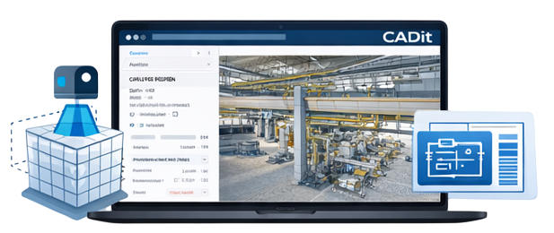
Scan-to-BIM Services
Convert reality capture directly into BIM-ready models for architects, engineers, and stakeholders. Our Scan-to-BIM workflows ensure accurate as-built documentation and efficient integration with design platforms.
Accurate as-built documentation
Efficient integration with design platforms
Up-to-date digital insights for planning